


Apple Maps introduces new ways to explore the world
With the release of iOS 18, iPadOS 18, macOS Sequoia, and watchOS 11 today, Apple Maps is introducing new features to help users explore… The post Apple Maps introduces new ways to explore the world appeared first on MacDailyNews.
With the release of iOS 18, iPadOS 18, macOS Sequoia, and watchOS 11 today, Apple Maps is introducing new features to help users explore and find places they love.
“Apple Maps is the best way to navigate and explore the world, and we’re excited to make that experience even better for our users with today’s updates,” said Eddy Cue, Apple’s senior vice president of Services. “Maps makes it easy and enjoyable to plan any journey, with beautiful, detailed, and useful features that only Apple can deliver.”
Detailed National Park Hikes and Topographic Maps
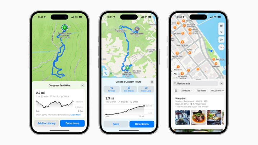
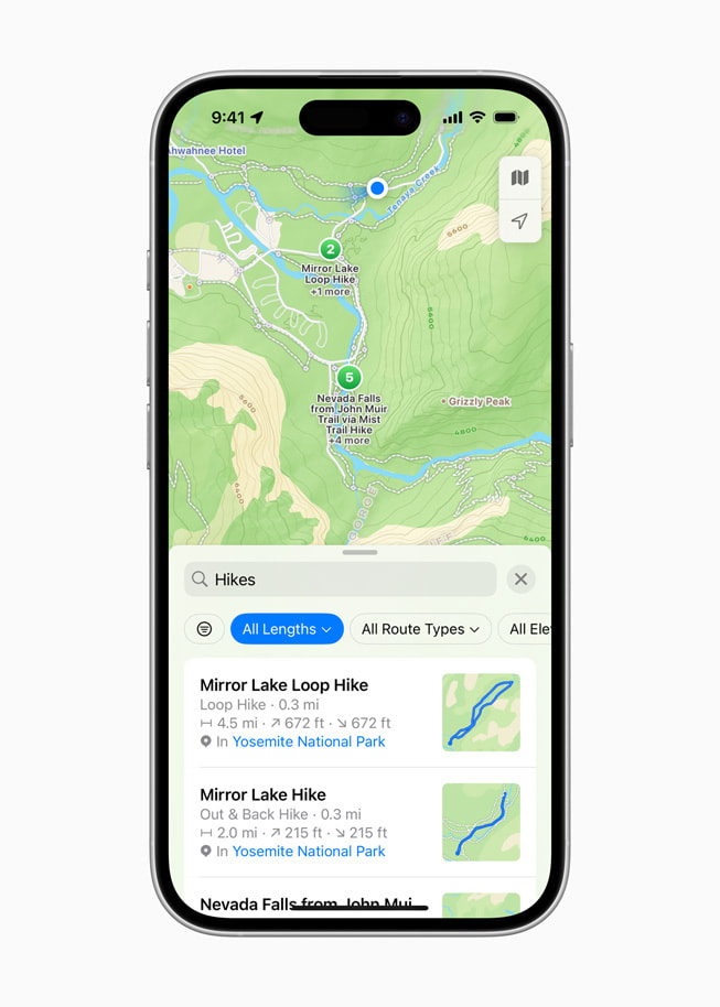
Users can browse thousands of hikes in U.S. national parks — from Acadia National Park in Maine, to Yosemite National Park in California, to Denali National Park and Preserve in Alaska — on iPhone, iPad, Mac, and Apple Watch. To find the perfect trail, users can filter hikes by route type, length, and elevation, and follow along with turn-by-turn navigation to help them stay on track. Users can download hikes for use while offline and save them to their Apple Watch. Beginning today, Maps also displays shuttle schedules for select national parks, including Bryce Canyon National Park in Utah and Sequoia National Park in California.
Topographic maps on iPhone and Apple Watch are also available for the U.S. and Japan, with stunning details like contour lines, trail details, and more.
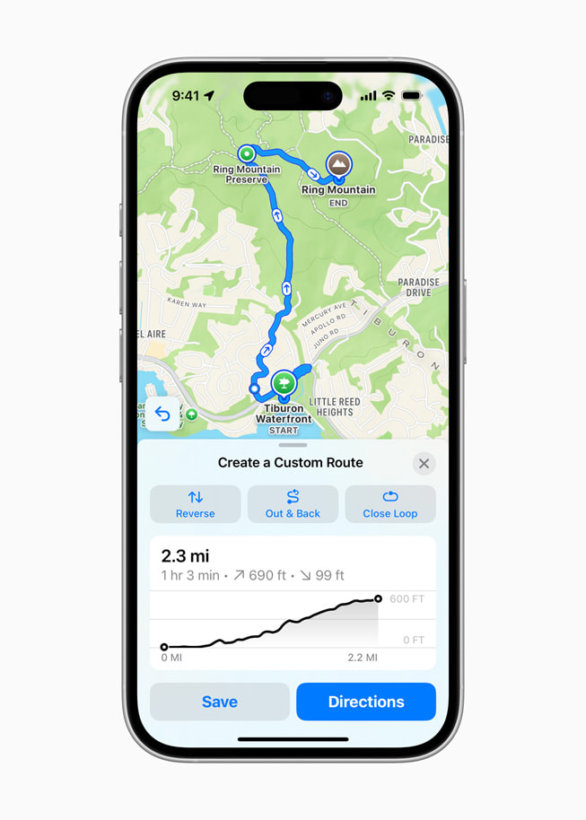
Custom Walking Routes
For the first time, Maps users in countries and territories around the world can create and save custom hiking and walking routes. Users can tailor routes to their personal preferences, whether for a long walk around a new city, or a hike in a nearby nature preserve. Like national park hikes, custom routes can be accessed while away from cell service or Wi-Fi when synced to Apple Watch.
All-New Places Library and Enhanced Search Experience
It’s now easier than ever for users to keep track of their favorite places and find great new spots. On iPhone, iPad, and Mac, users can save places, curated Maps Guides, national park hikes, and custom routes to an all-new Places Library, and add personal notes about each.
With an enhanced search experience, users can also quickly discover and compare places by browsing photos, ratings, price level, and more, all without leaving search. The updated “Search here” button in Maps allows users to search a specific area for places of interest, like restaurants, coffee shops, and gas stations.
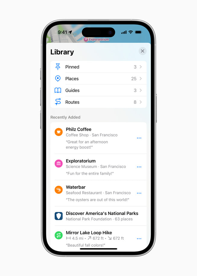
On iPhone, iPad, and Mac, users can save places, curated Maps Guides, national park hikes, and custom routes to an all-new Places Library.

What's Your Reaction?